Hi, my name is Louis, and I’ll be your eyes and ears for our upcoming expedition. That means you’ll experience it through the eyes of a grandfather who’s been involved with the Foundation since 2017 and who has spent many days and nights experiencing the forests, mountains, deserts and waterways of our beautiful blue globe.
On April 17, I was approached by Catherine to be the blogger on the Grand Expedition Summer. Catherine, who won’t be joining us unfortunately, will finally be taking some summer vacation time with her family—something she hasn’t done in a long time.
“An expedition on the Spanish River in Ontario in the middle of July? WHHAATT?! A Spanish River in Ontario? Where could a name like that possibly come from?”
Curious by nature, I browsed the internet and here’s what the Foundation’s website, Wikipedia and some canoeing websites have to say on the matter:
The Spanish River was used as a transportation corridor for thousands of years, initially be First Nations and later in the 19th century by fur traders. At the turn of the 20th century, it became part of the land covered by a Canadian folklore legend, the forest ranger Archie Belaney—later known as “Grey Owl”.
¿Habla español?
The Spanish River’s name has its roots in the era of New France, trappers and French-Canadian expert woodsmen (coureurs de bois). They are said to have heard members of the Ojibwe nation speaking Spanish, as legend goes, due to the presence of one or several women from the south, i.e., New Spain. At the end of the 18th century, this territory covered Central America from Costa Rica all the way up to what is currently the state of Oregon, extending through Colorado right to Texas.
The waterway was named the rivière espagnole and the closest village was named Espanola. The river’s name was later anglicized to “Spanish River”.
A few clicks and we’ve resolved the mystery of the Spanish River in a nutshell.
The Spanish River runs through a mixed forest of pine, spruce, cedar, maple, birch and poplar trees. Logging was common in the area in the 1880s and the river served as a means of transportation for millions of pitoune, i.e., logs. Most were transported on rafts via Lake Huron for trade in Michigan. The forest is now a luxurious jungle and apparently impenetrable. The river has been protected by its provincial park status since 2001.
A very long section along the river called the “Old Forest” was never used for logging. Some forestry experts say it’s the largest stand of old red and white pine in the world. The area is at the heart of the Canadian Shield—large outcrops and granite cliffs abound. A small site with Indigenous petroglyphs is also said to be present. I hope we’ll have time to stop there!
The views will indeed be breath-taking!
We gathered in Montréal on Tuesday, July 11, after a long day starting with an early rise in Chicoutimi, followed by a quick stop in Trois-Rivières to pick up Louis, i.e., me!
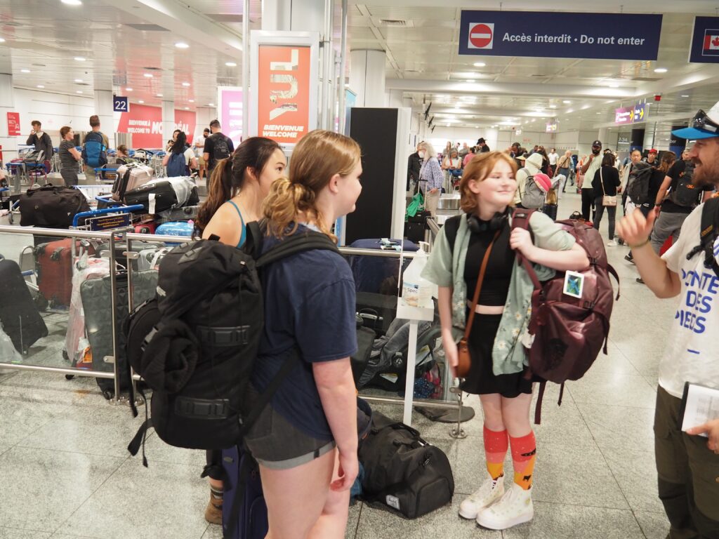
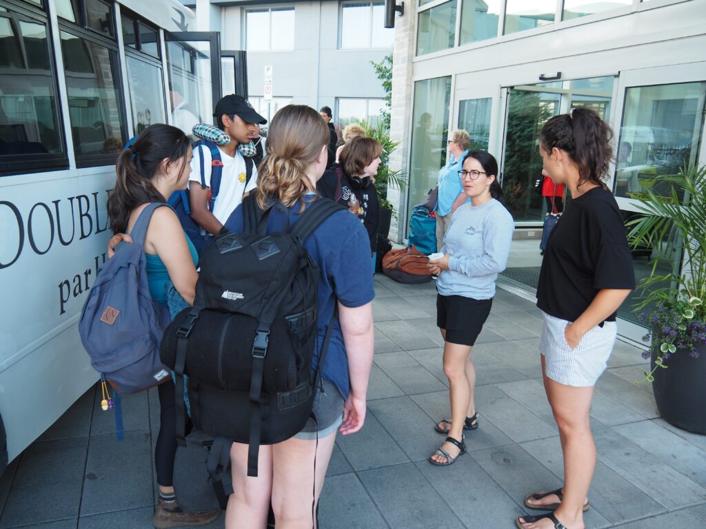
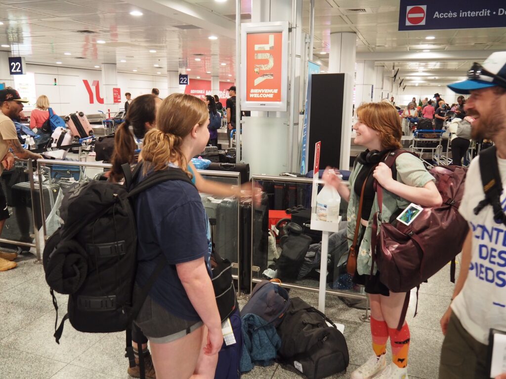
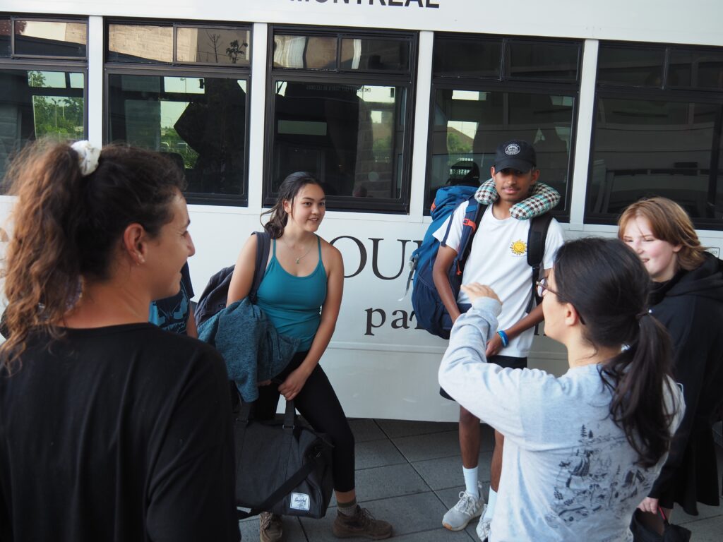
Marie-Michelle, facilitator, and Julie, psychosocial professional, stayed at the hotel to welcome Kamille and Alice. Julien, facilitator, and Louis, blogger, went to the airport to meet the participants arriving by plane. Donovan from Toronto was the first one in, followed by Julia and Zoe flying in from Vancouver, and Sydney from Fredericton. Andrew, Evan and Sameer’s flight was a bit late, as was Jesse’s, so Louis went back to the hotel with the first group and Julien took the next shuttle with the last members of the expedition. A huge thank you to the Air Canada Foundation for making these flights possible for our participants!
After dinner, we were all quite exhausted from our day and headed to our rooms to get some rest before our 6:30 a.m. gathering in the dining hall the next day. Tomorrow, a good eight-hour bus ride to Sudbury awaits! Anyone who’s still sleepy will surely have the opportunity to doze along the way. And so, we’re off!
Louis-Étienne Provost
Volunteer photographer-blogger for the On the Tip of the Toes Foundation
—
Translated by Anna Tomczyk


