Geography and History
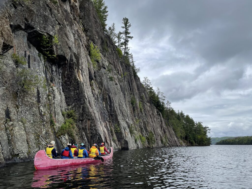
“West of the Papineau-Labelle Wilderness Reserve, the Poisson Blanc Regional Park is a 30-kilometre reservoir with more than 80 islands. Canoe-camping enthusiasts will be charmed by the wild, isolated and ultra-calm landscapes with an endless view over water.”
The many sandy beaches on our way will mean many opportunities to take a break or have a picnic. Île Perdue (Lost Island), Île à l’Aigle (Eagle Island), Île Mystérieuse (Mystery Island) and Parois Éléphant (Elephant Wall) will be our world, our territory.
Before colonization, this part of Quebec was Algonquin territory. As its name suggests,The Poisson Blanc is a man-made reservoir. Early in the 18th century, the main activity of the French settlers was trapping and fur trading and many trading posts lined the Lievre River. Over time, fur trading declined and, in 1806, Philémon Wright from Boston started the forestry industry in the Outaouais Region.
Forestry in the region was based mainly on white pine, used in the European ship building industry. In the mid-nineteenth century, sawmills appeared in the region to transform the wood prior to selling it. To facilitate floating the logs down the river, the McLaren family built dams and dykes along the Lievre River. Consequently, around 1930, the Poisson Blanc reservoir was formed in the floods caused by the new infrastructure.
The year 1993 marked the end of the timber runs on the Lievre River and the beginning of tourism development. Many parks, hunting camps, campgrounds and vacation areas were created along the Lievre River and the Poisson Blanc Reservoir.